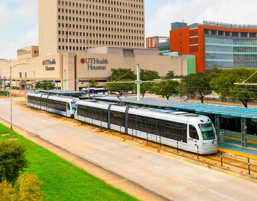
Texas Medical Center
The Texas Medical Center (TMC) is a 2.1 square mile area of hospitals, research institutions, medical schools and health facilities, located southwest of downtown Houston. There are various ways METRO can get you to TMC. On this page you'll find:
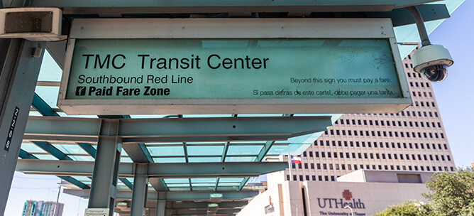
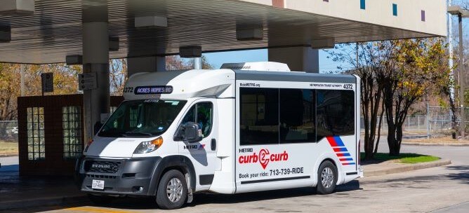
- METRO transit services you can ride
- How to ride METRO, including route maps
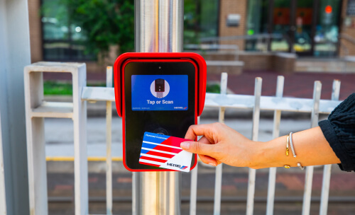
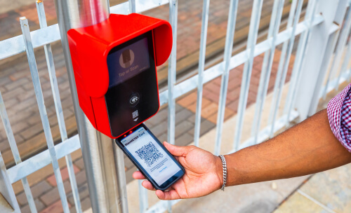
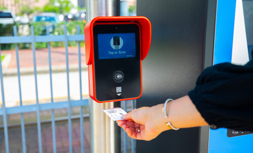
- Different payment methods you can use to ride
- Answers to common questions
- Rider tools, including our trip planner


.jpg?sfvrsn=5644708b_1)