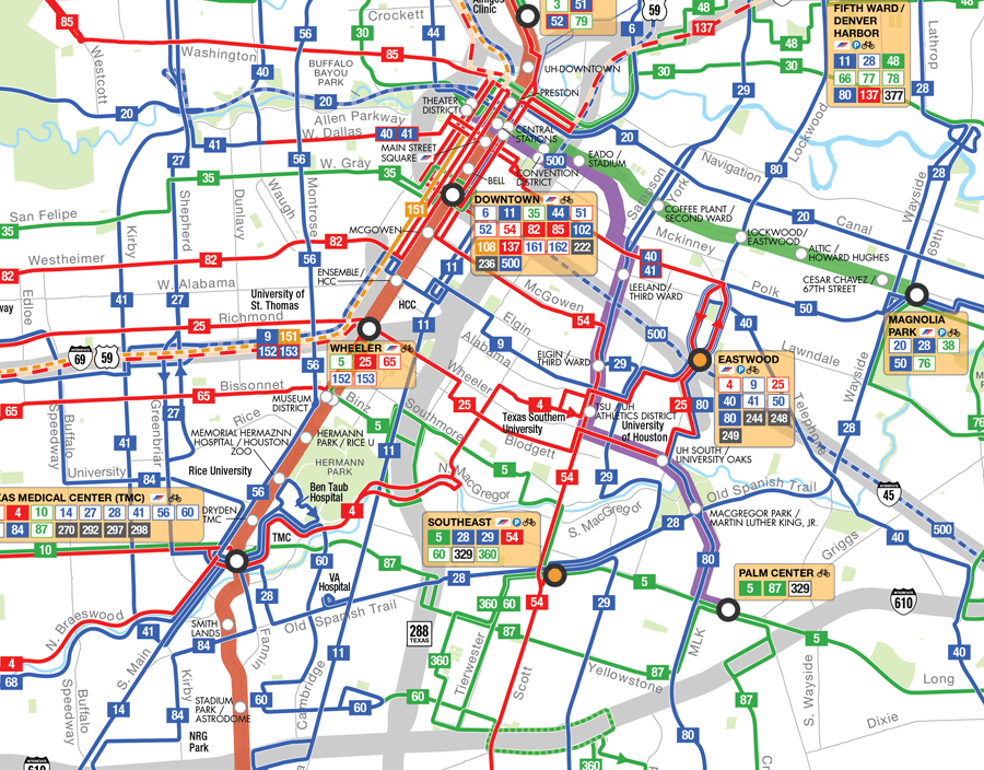
System Map
We have an interactive system map and a PDF version. Both are best viewed on a desktop computer and can be used to find METRO transit services near you. The maps show bus routes and stops, rail lines and stations, and connecting routes at our transit facilities.
The interactive map also shows all HOV express lane corridors, the METROLift paratransit service area and more.


                             Google Chrome
                            Google Chrome
                         Safari Mac OS
                            Safari Mac OS
                         Mozilla
                            Mozilla
                         Microsoft Edge
                            Microsoft Edge