BOOST
56 Airline / Montrose
20 Miles of Improvements
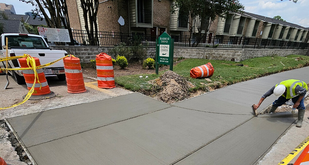
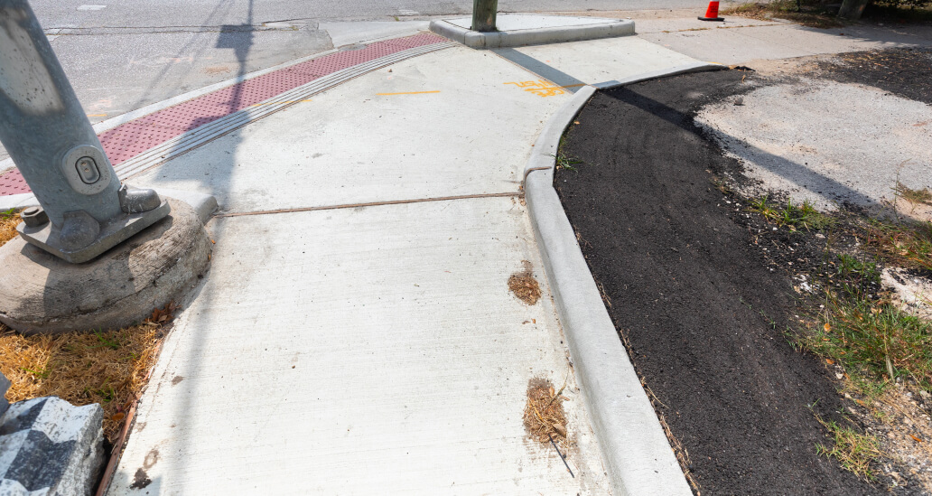
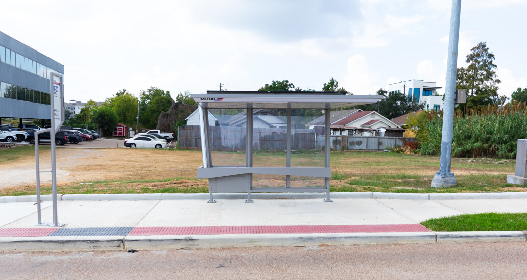
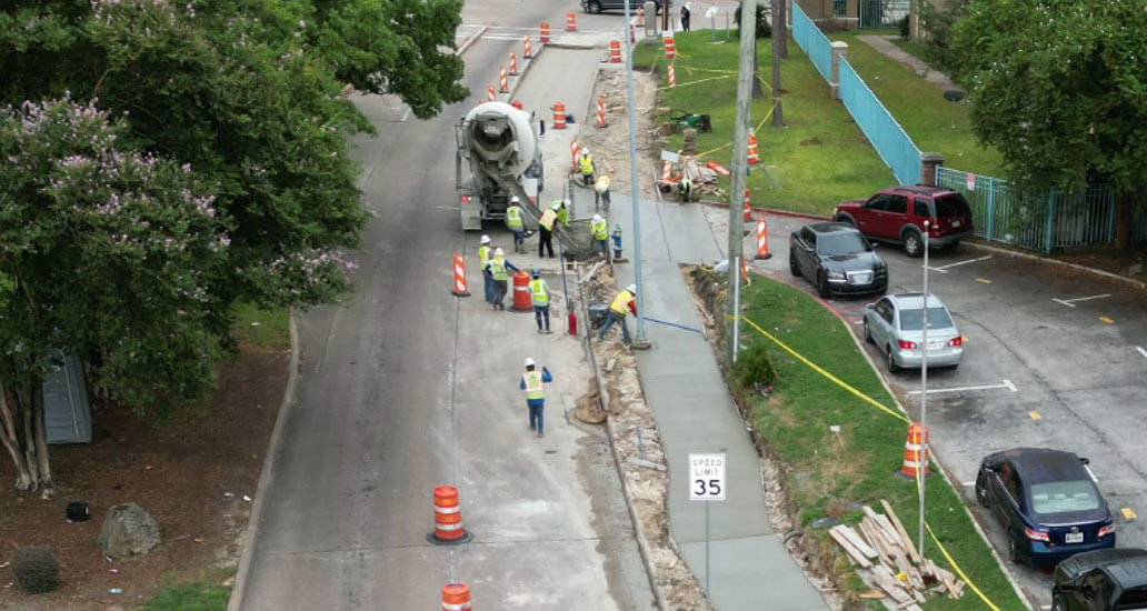
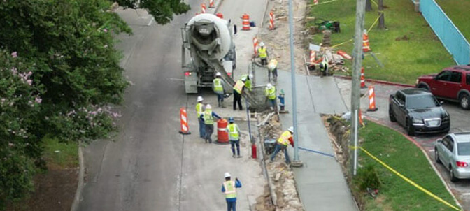
Construction is in Progress. This project is designed to benefit commuters along the 56 Airline / Montrose route between Greenspoint Transit Center and the Texas Medical Center. Some of the enhancements you will see include:
- New or improved sidewalks along and / or near the route
- Improved accessibility along the route with safer crossings and new ramps for wheelchair and stroller access
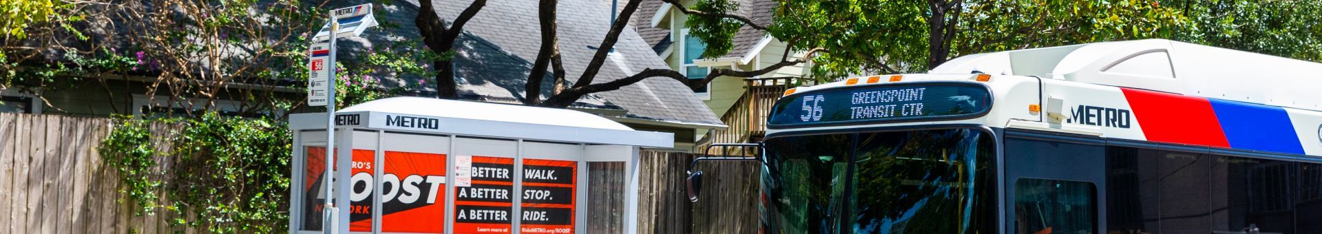
- Bus shelters with lighting for improved safety and trash cans
- Digital, real-time bus arrival information

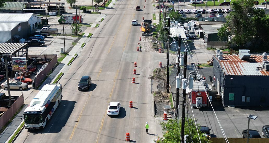
Project Progress
See recent activity along Imperial Valley, Aldine Bender Road and Greens Road as we create a better walk, a better stop and a better ride.
Project Status
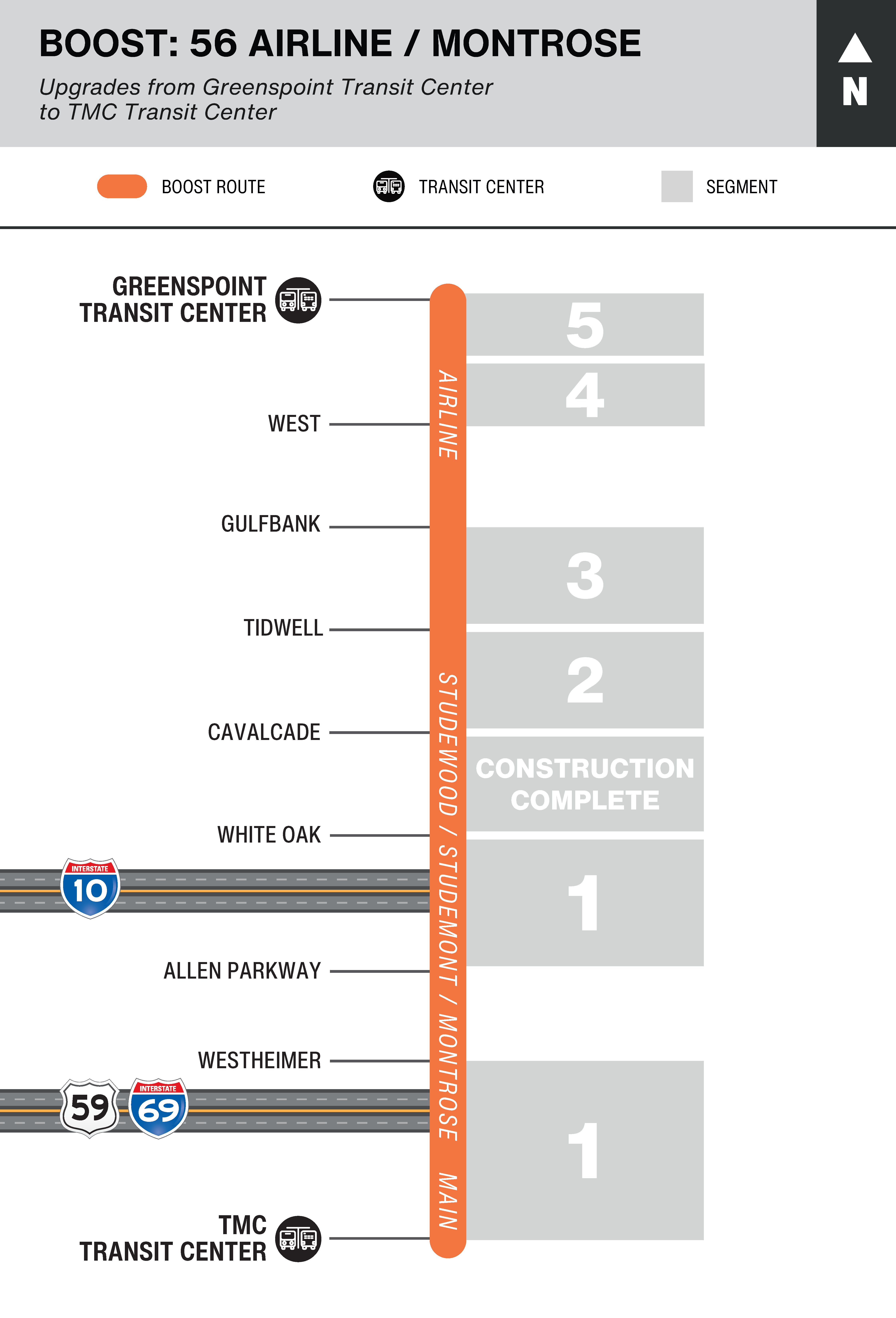
Status
Design and construction are complete.
Location
1.16 miles from Greenspoint Drive to Hedgecroft Drive and West Hardy Road along Benmar Drive.
0.36 miles from Studewood Street to Airline Drive along Cavalcade St.
Construction Timeline*
Jan. 2025 to June 2025 - Greenspoint Drive to Hedgecroft Drive
Jan. 2025 to June 2025 - Studewood Street to Airline Drive
Status
Design and construction are complete.
Location
4.5 miles from Greenspoint Transit Center to West Road along Aldine Bender, Imperial Valley Drive, Northchase Drive, Greens Road and Benmar Drive.
Construction Timeline*
June 2024 to Aug. 2024 - Greenspoint Transit Center
July 2024 to May 2025 - Greens Road at Greenspoint Drive to West Road
Status
Design and construction are complete.
Location
6.0 miles from Gulf Bank Road to Tidwell Road along Airline Drive.
Construction Timeline*
April 2024 to Jan. 2025 - Gulf Bank Road to Tidwell Road
Status
Design and construction are complete.
Location
2.9 miles from Tidwell Road to Cavalcade Street along Airline Drive.
Construction Timeline*
Oct. 2023 to Nov. 2024 - Tidwell Road to Cavalcade Street
Status
Design and construction are complete.
Location
1.5 miles from Cavalcade Street to White Oak Drive along Studewood Street.
Construction Timeline*
Construction was completed in August 2021.
Status
Design and construction are complete.
Location
3.3 miles from the TMC Transit Center to Westheimer Road
1.5 miles from Allen Parkway to White Oak Drive
Construction Timeline*
June 2025 to Dec. 2025
Related Projects
As rollout of the METRONow plan continues, we’ll add items below to keep you informed on progress with the 56 Airline / Montrose, part of the BOOST network.

Questions? Comments?
Suggestions?
On our Public Comments website, choose Construction/Planning Projects > 56 Airline/Montrose BOOST Improvement Project.